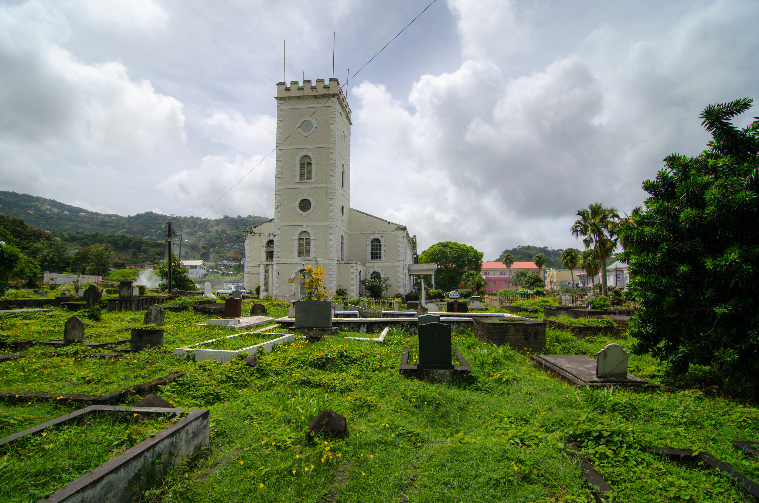
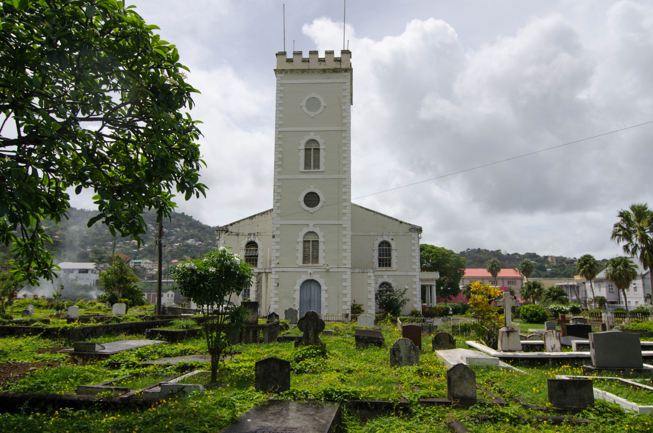
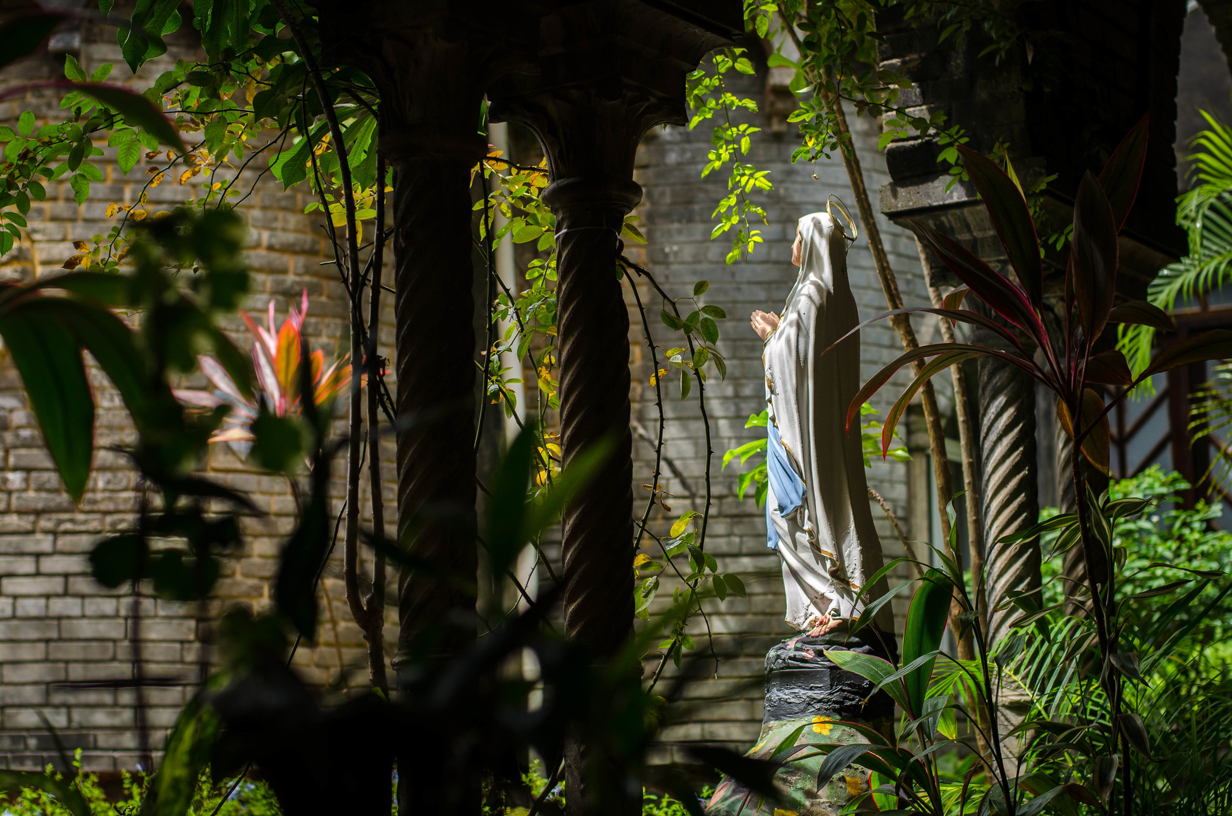
Saint Vincent is 19 miles high by 11 miles wide. We're down here, at the bottom of the island. It takes about 2 hours to drive from the bottom to the top. There is a volcano at the middle top third of the island that last erupted in 1979 - same year as Vincy independence from the British.
From Sunday to Sunday. OPOE's week in review.
Getting there: Departed Albuquerque, Saturday, July 12th, 11:59PM. Landed JFK, 6AM. Quick layover, and Arrived in Barbados by 1:00PM.
Apparently, we planned it perfectly, and our flight from Barbados to St. Vincent didn't leave until 7:50PM, so we were able to see the entire World Cup final at the Barbados airport. The crowd seemed split between Germany and Argentina, but I did spot one Messi shirt.
World Cup, Barbados airport
After a 3 hour delay, we arrived in SVG around 11:00PM. 2 quick supply stops later, and we arrived at our rental house. Perched on top of a hill, and nestled in a residential neighborhood, we have a great view of the ocean, the sunset, and the goings on around us. Sounds of birds, frogs, and rain are a continual refrain.
The video below is some snippets from our place, layered with sounds of the frogs at night.
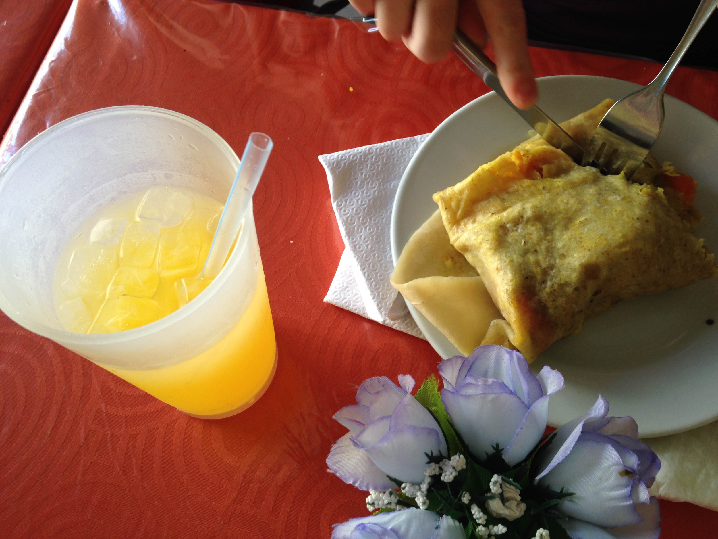
Mauby (anise flavored drink, made from tree bark ) & Roti
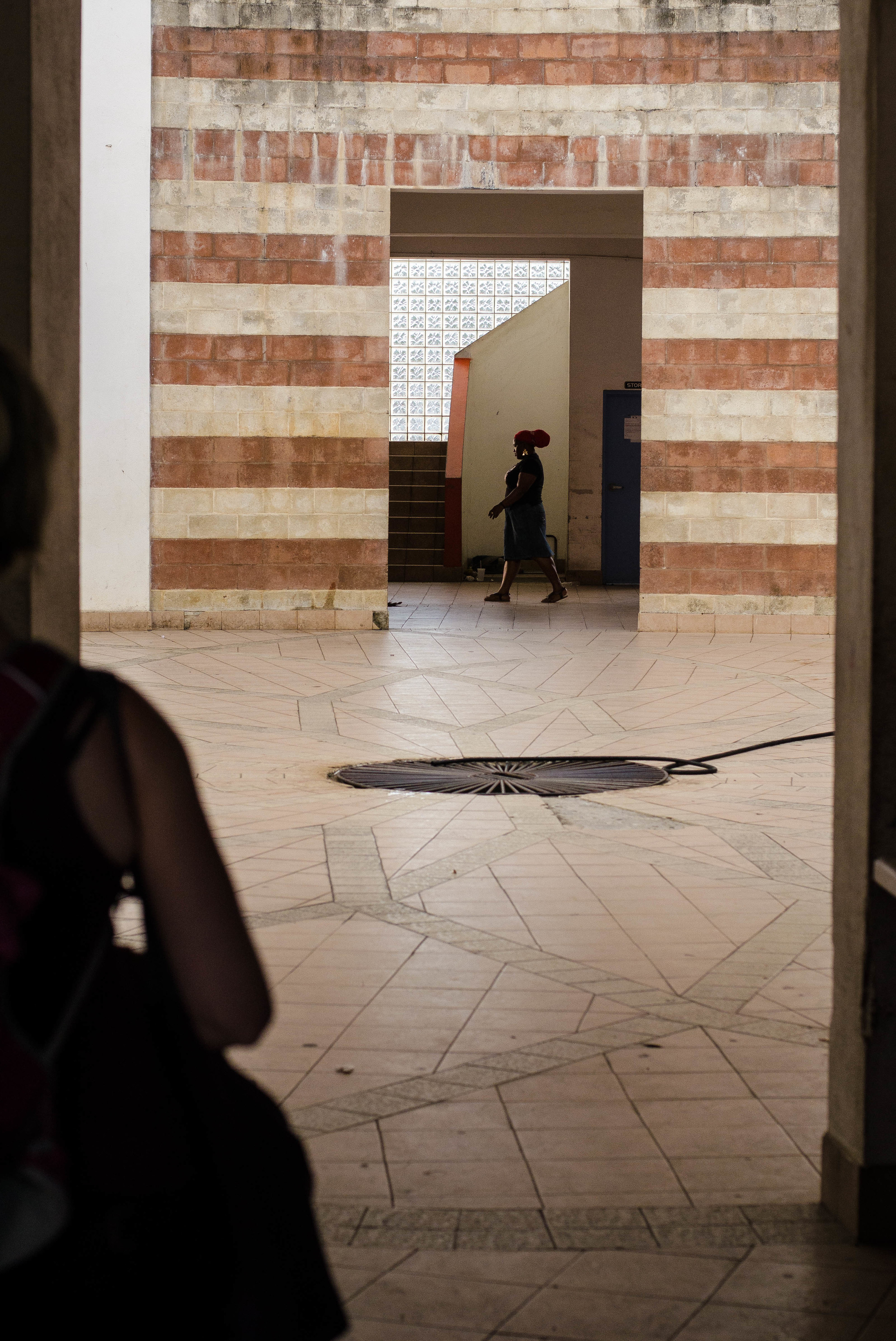
MONDAY, we explored SVG's capitol - Kingstown - bought SIM cards, a phone and some groceries. For lunch we also ate Roti, a popular caribbean lunch made with a flour wrap, and stuffed with pumpkin, potato, veggies, meat, and other savory things.
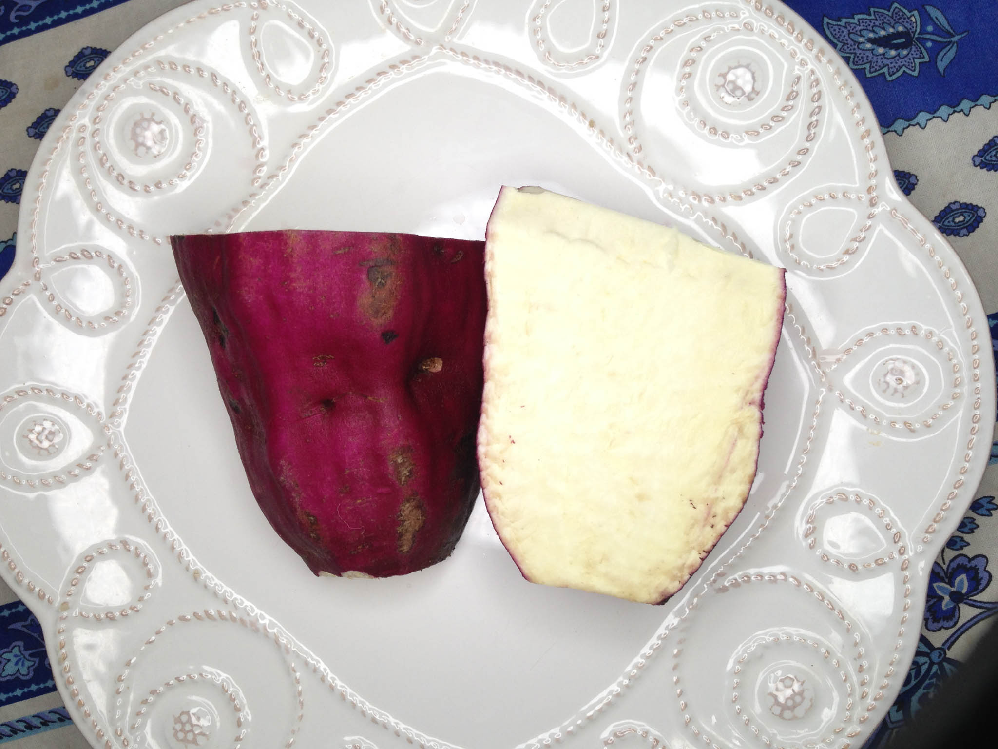
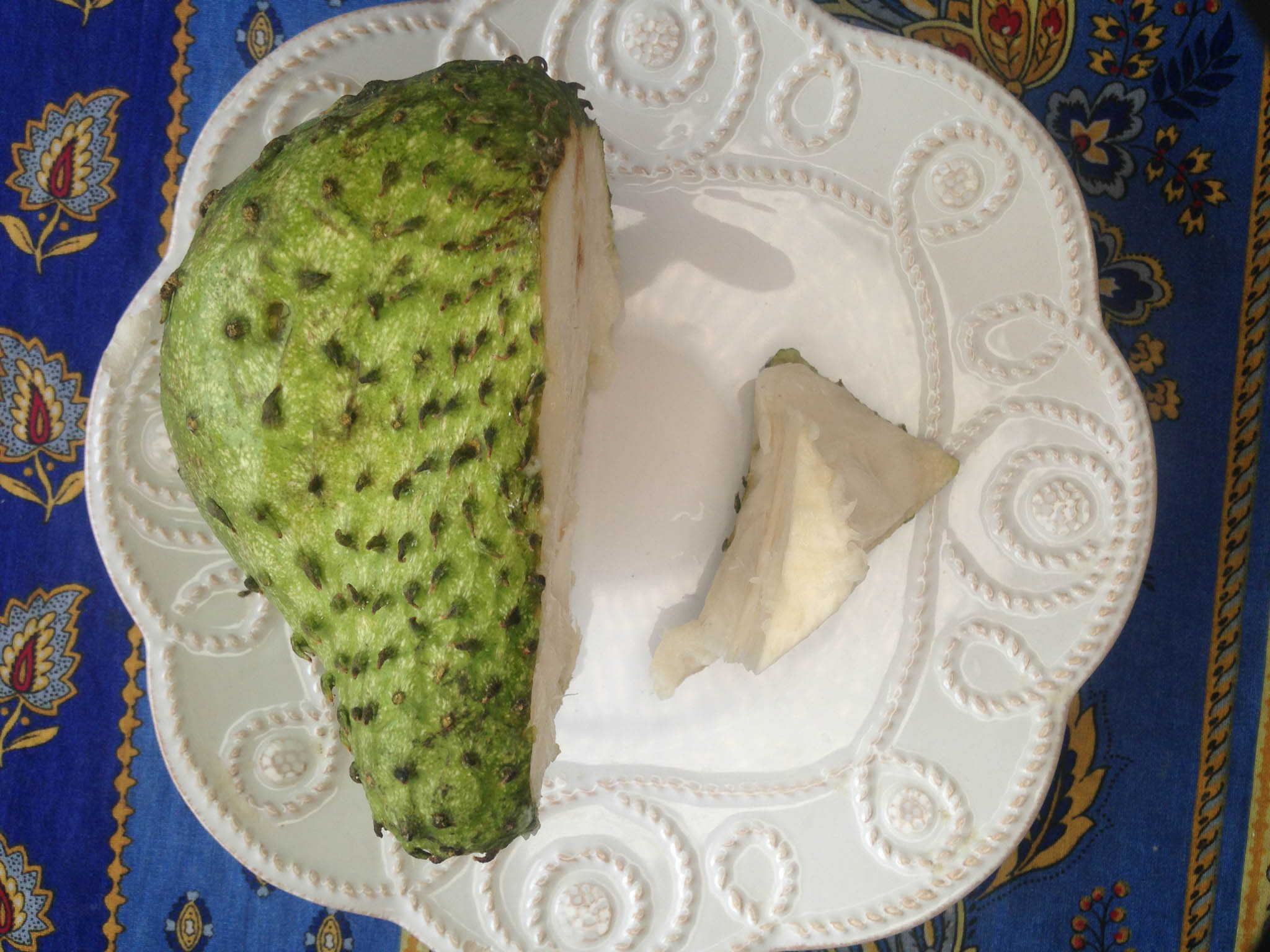
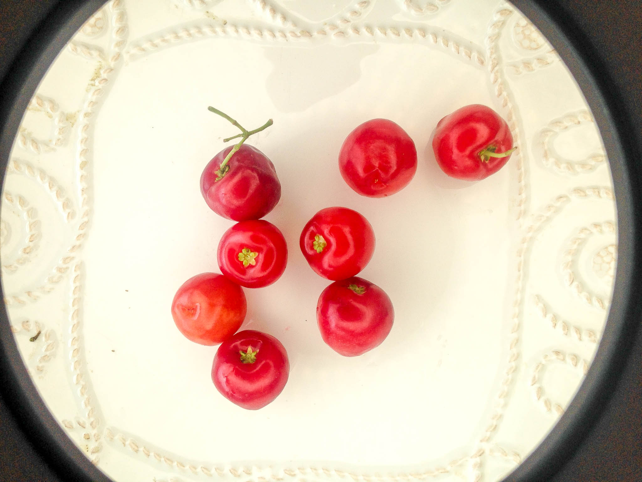
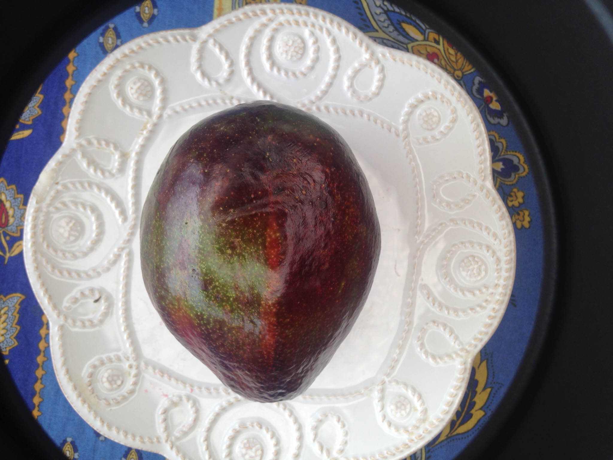
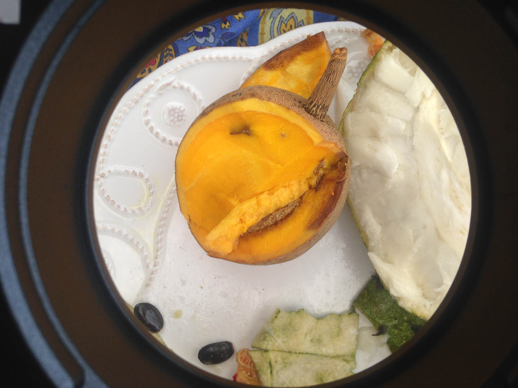
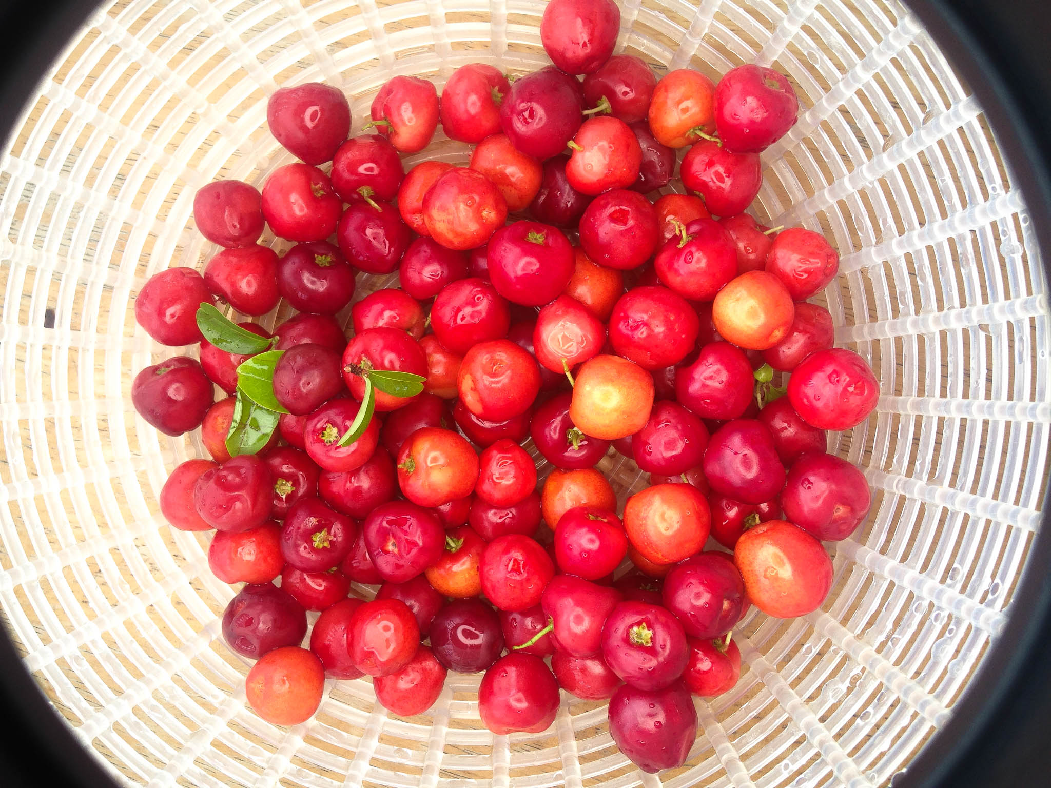
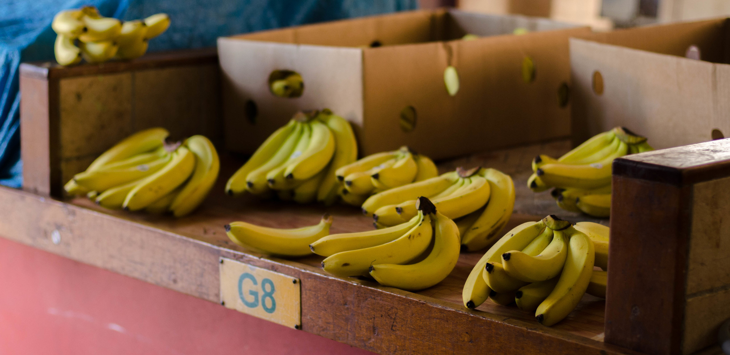
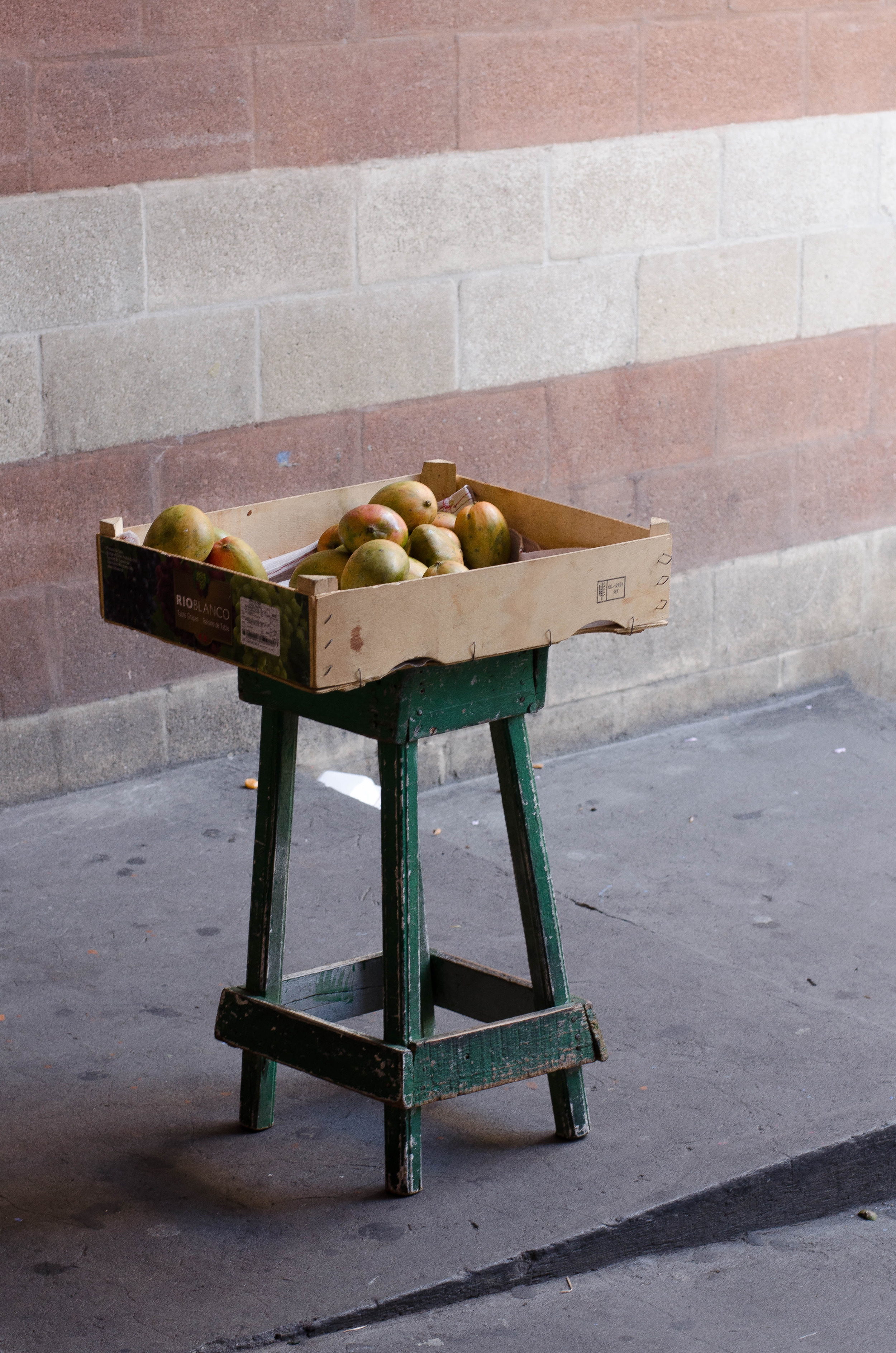
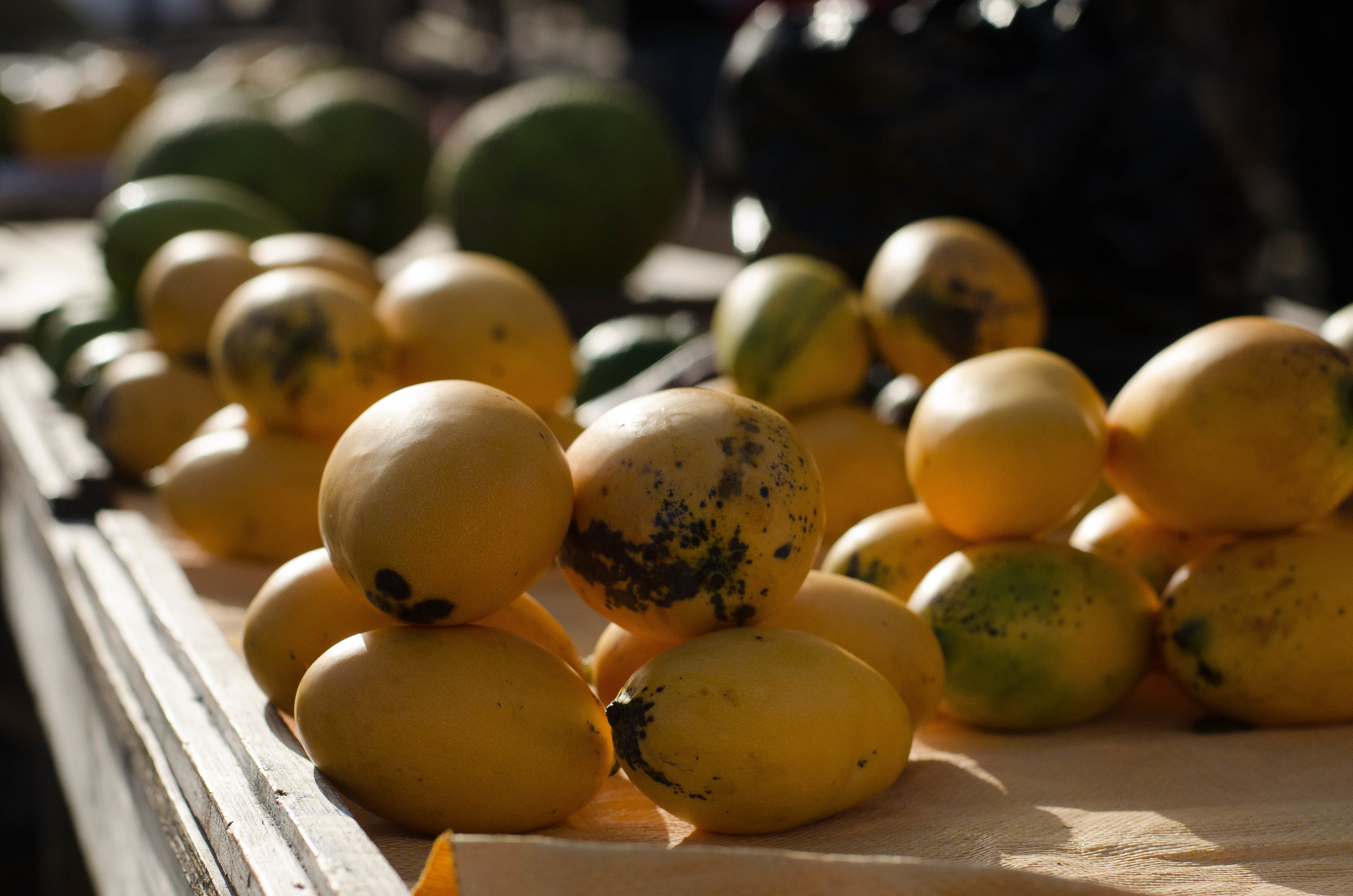
There is a large outdoor/indoor market, featuring a tremendous variety of local fruits and vegetables. Though productivity is slowly dwindling, SVG remains one of the largest agricultural producers in the region. Constant rainfall around the volcano in the upper third of the island, feeds the rich arable land below.
Below are some of the fruits and veggies we have found.
TUESDAY
Annie Von Burg, Nuin-Tara Key, and Sharika Mandeville
Ministry of Transport and Works Building, Kingstown, St. Vincent
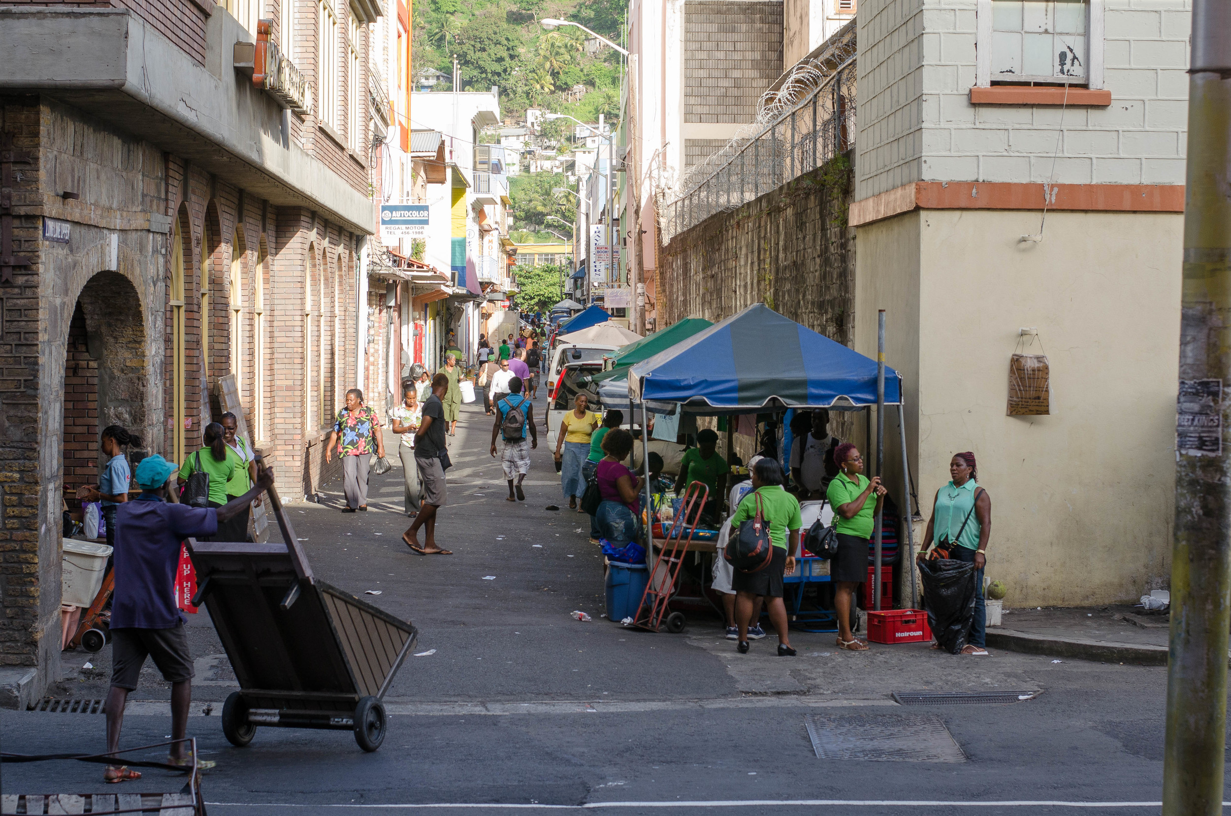
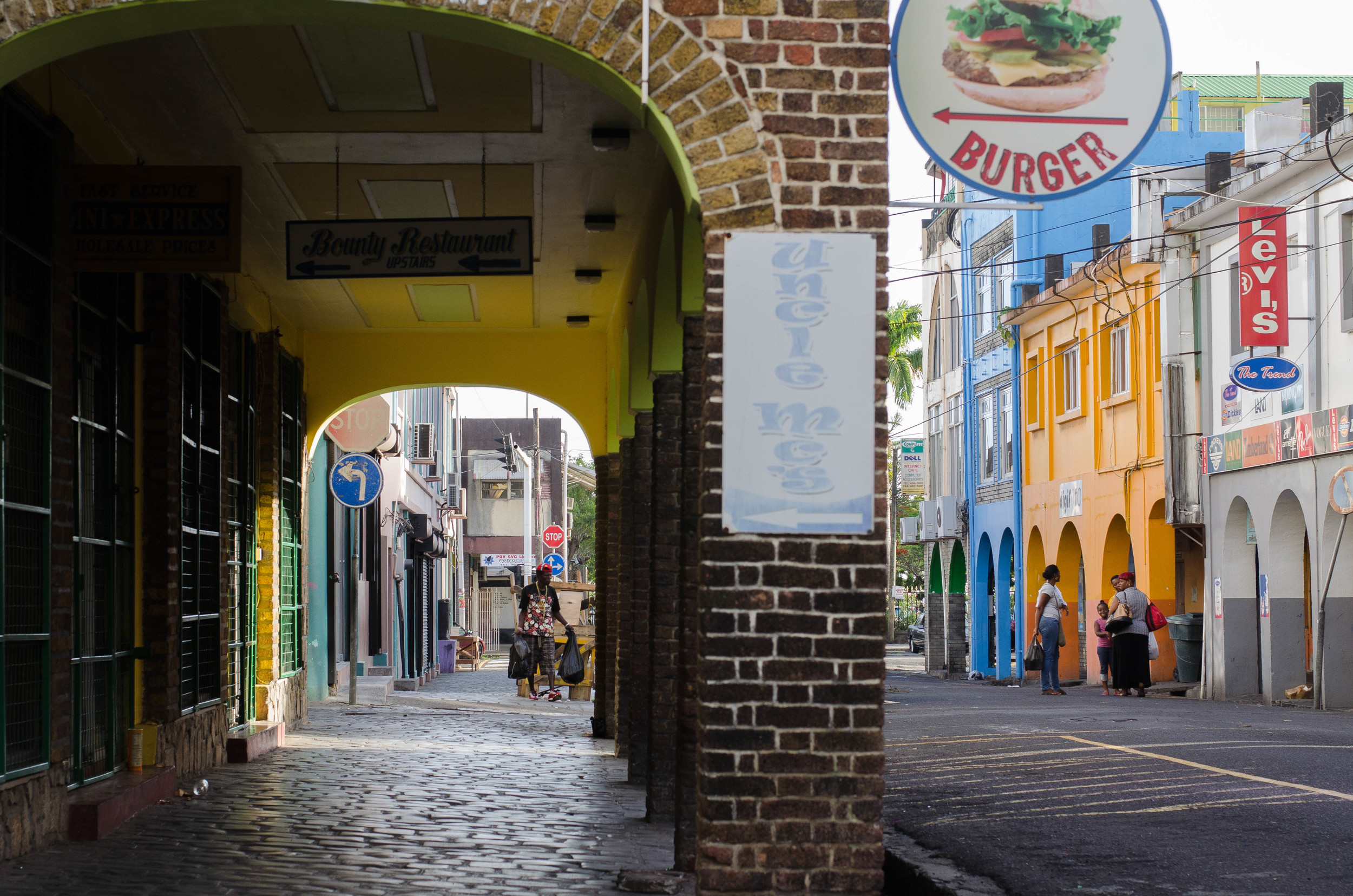
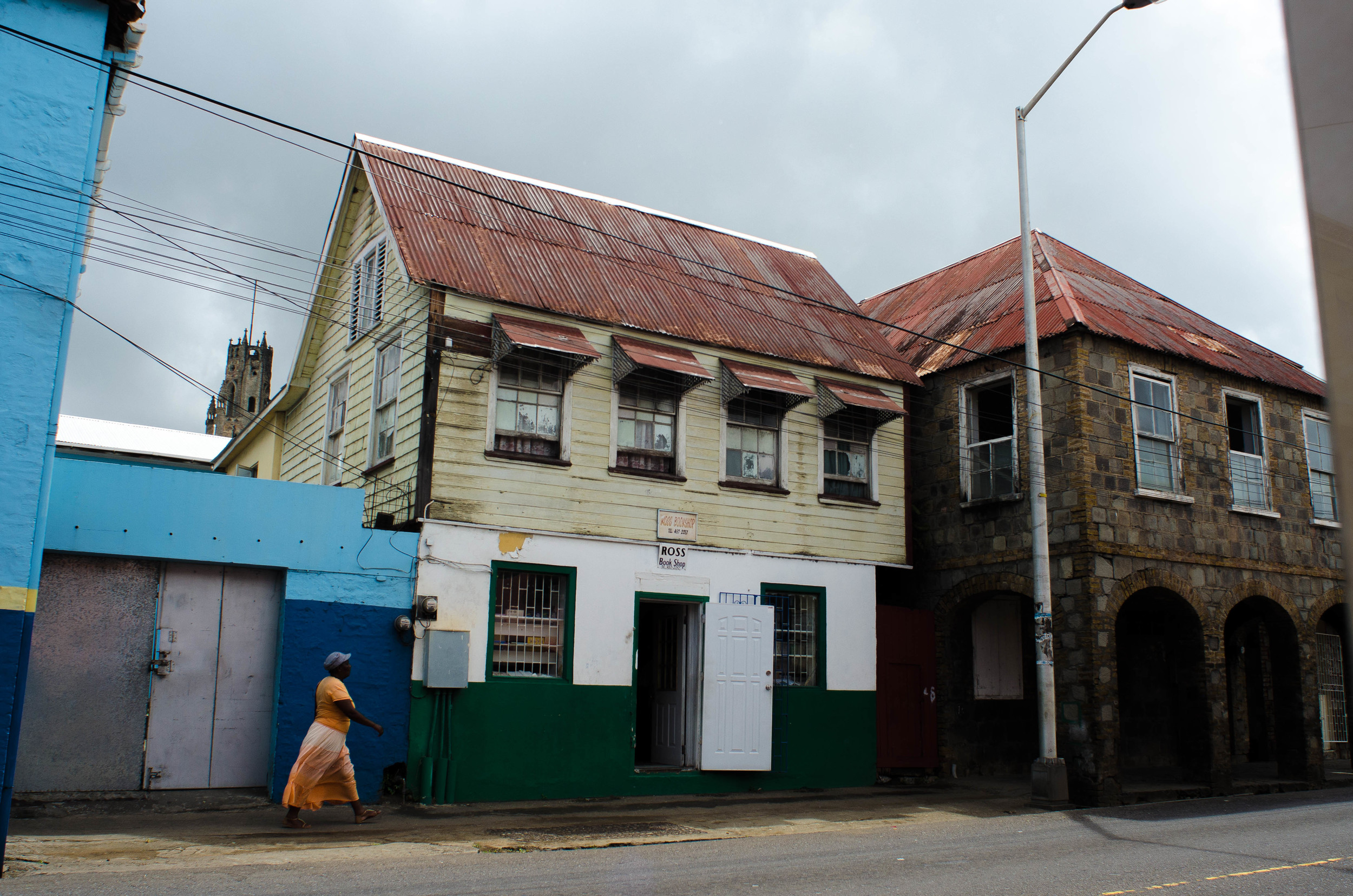
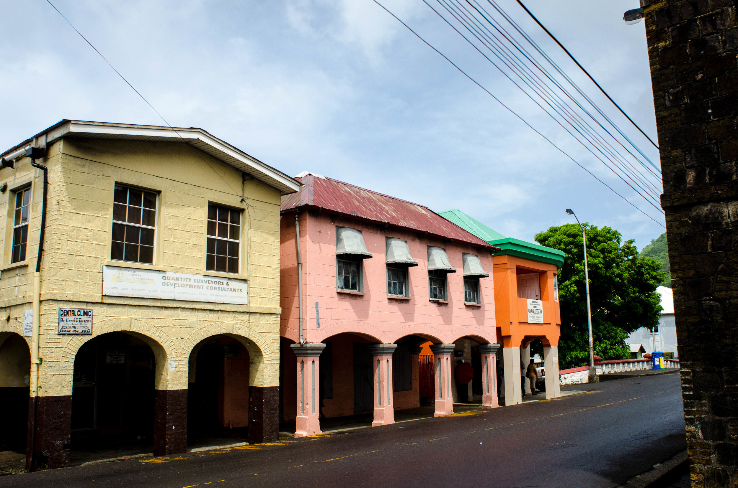
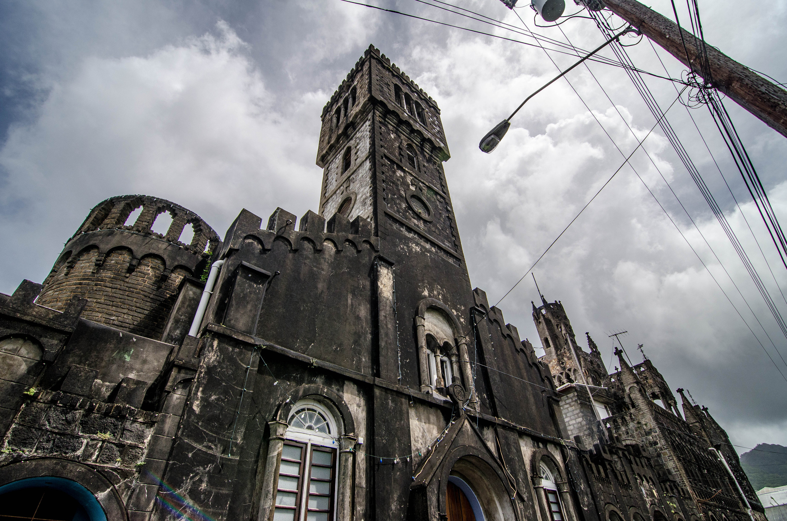
Downtown Kingstown: we had our first meeting with officials at the Ministry of Transport and Works building. There we met Nyasha Hamilton, Sarika Mandeville, and Mr. Miller and made plans for the week's site visits around the island. We then further explored Kingstown.
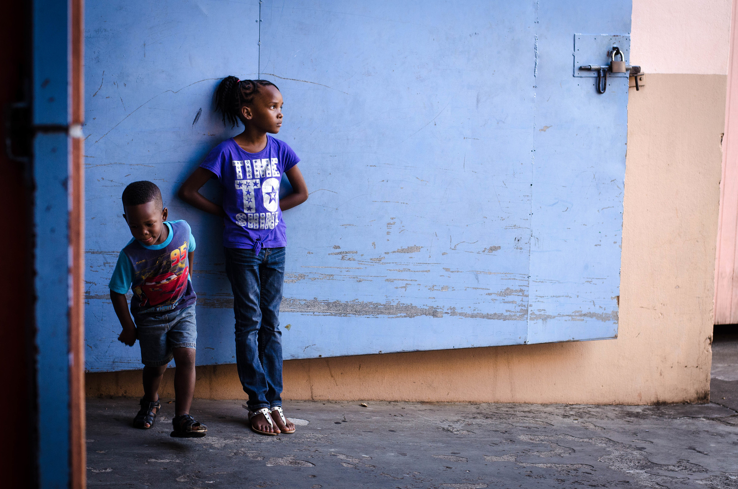
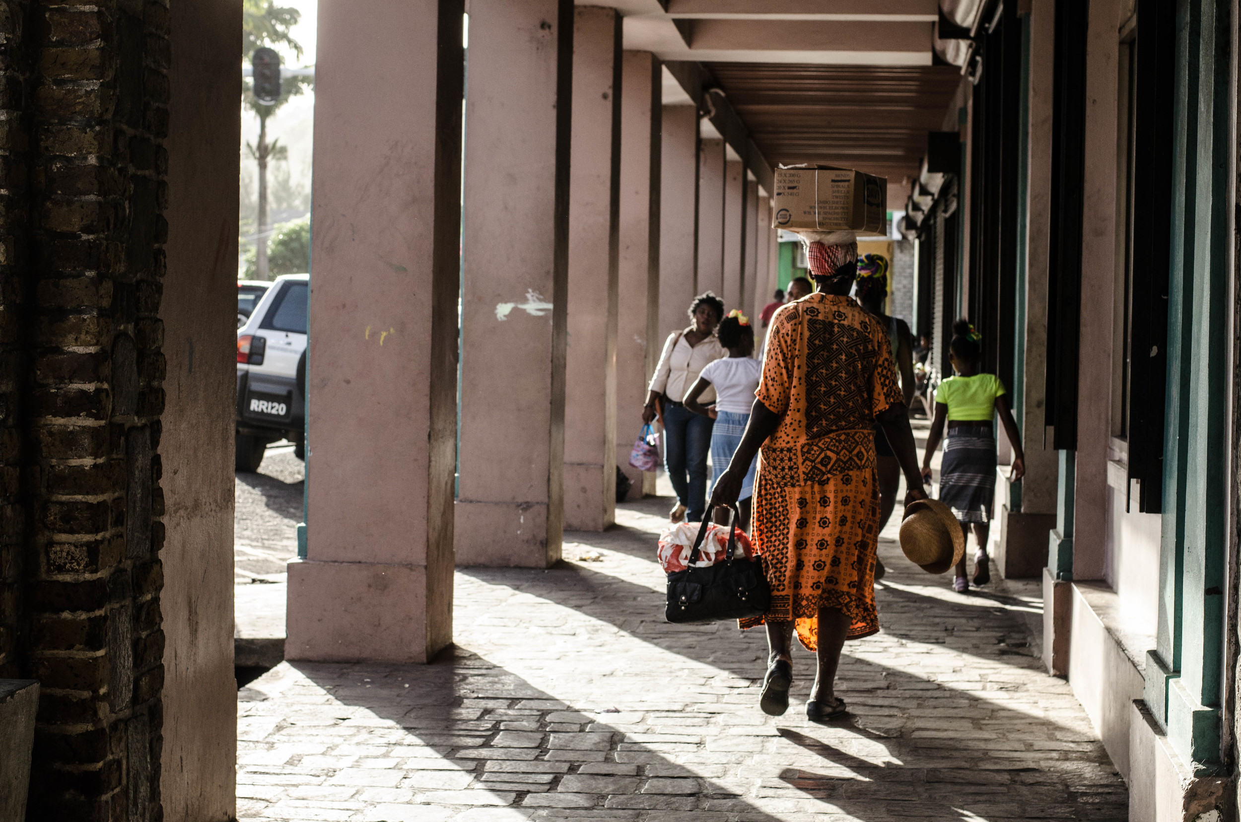
Below are some pictures from around town.
In preparation for interviews and site visits with SVG Ministry representatives, WEDNESDAY was an at-home work day. Working at home has proved a challenge because our internet isn't working. Fortunately, our neighbor, and new friend Marlin, has really come through. Exemplifying the welcoming and friendly nature of the Vincy people, Marlin came over the first night to help diagnose our internet problem, and has since been communicating with the owner of our house in Massachusetts, and calling friends in the communications industry to try and get some answers. In the meantime, Marlin has let us use his WiFi, which - though slow, because his house is 50 yards away - has been getting us by. But he has also taken it upon himself to tour us around, prepare us food, and bring us local rum. To make up for the internet outage, the owner of our house bought us dinner at the Paradise Beach Hotel Friday Night BBQ and we invited Marlin along.
Shale Hunter, Tom Miller, Nuin-Tara Key, Marlin Nanyton, Annie Von Burg at Paradise Beach Hotel Friday BBQ
THURSDAY we conducted interviews and did 3 site visits. Nuin-Tara has a brief write-up below about some of the projects we're focusing on in SVG.
The Rainwater Harvesting and Disaster Management Demonstration Project (RWH-DMDP).
St. Vincent and the Grenadines has been identified as one of the world’s highest ranked countries for vulnerability to climate change. According to the World Development Indicators Report of 2006, SVG is extremely vulnerable to natural disasters, ranked as the second most disaster prone country in terms of land area and fifth in terms of population.
Construction at Langley Park Government School
As climate change is causing an increased frequency of intense tropical storms and hurricanes (IPCC 2007), St. Vincent and the Grenadines is increasingly susceptible to instability on the island’s mountainous terrain. This instability is exacerbated by changes in development and agricultural practices, resulting in landslides and erosion, which have numerous impacts on the island’s economic, environmental and social systems. Central to these impacts is the issue of water scarcity and quality – SVG has identified improving the resilience of the water sector as a top climate change adaptation priority throughout the country.
One of the ways in which SVG is increasing the resilience of their local water sector is through their participation in the Reducing Risks to Human and Natural Assets Resulting from Climate Change (RRACC) demonstration projects. These projects are funded and administered through a partnership between USAID Barbados and the Secretariat of the Organisation of Eastern Caribbean States (OECS). While this effort includes 11 projects in seven countries throughout the Caribbean, the project in SVG is focused on the installation of Rainwater Harvesting infrastructure at six disaster shelters across the country.
The National Emergency Management Organisation (NEMO) selected the Rainwater Harvesting and Disaster Management Demonstration Project (RWH-DMDP) sites because of their high vulnerability to the impacts of climate change.
The six sites are generally less sheltered from high winds, and are low-lying areas prone to flooding. Communities within these areas also have low socio-economic standing and are therefore more exposed and vulnerable to severe climatic events. During disasters, such as the Christmas Eve Flood (see also this article from IPS), water availability is interrupted, making post-disaster recovery more difficult and costly. In addition to providing more reliable access to water during disasters, another benefit of these rainwater harvesting facilities is their use as supplemental water backup and storage facilities for local school and community farms during times of prolonged drought – another growing concern and predicted impact of climate change in SVG.
During our first week in St. Vincent, we visited four of the six sites. Our first tour on Thursday included three sites on the windward (east) side of the island.
Georgetown Secondary School
The first stop of the day included a visit to the Georgetown Secondary School, the site of a 10,000 gallon, concrete and steel catchment tank. The above-ground tank, still under construction, sits on the back side of the Georgetown Secondary School and will provide water to the neighboring Community Center, which is the designated hurricane shelter for Georgetown. The hurricane shelter can hold up to 30 families and the rainwater tanks will ensure that local families have access to sanitation water in the event of a natural disaster.
Back side of Langley Park Government School
The second stop of the day was in Langley Park, just down the road from Georgetown, this water catchment tank was tucked just behind the Langley Park Government School, overlooking the steep river bed below. This tank (with the same specifications as the Georgetown facility) will feed directly into the school’s water system, providing grey water for sanitation purposes. As with the other sites, this tank will provide sanitation services in the time of a disaster, but can also provide backup water for school farming programs during times of prolonged drought.
Gabion baskets along the stream slopes
While viewing the tank at Langly Park, we also saw some of the completed river restoration work following the Christmas Eve flood. The gabion basket construction was employed to stabilize the stream slopes. The banks were constructed in a sweeping s-curve to slow the speed of water flow during times of high-flooding.
Sandy Bay Government School
Our last site visit for the day was further north, just below the most northern point of the island. The third rainwater harvesting project is an underground concrete and steel tank located at the Sandy Bay Government School. But, unlike the previous two sites, this tank holds 25,000 gallons. Construction at this site was near completion, with only the final hookup and cover plates remaining to be installed.
In addition to providing opportunities for increased resiliency and adaptation to the impacts of climate change, all three water tanks are powered with solar PV panels. During times of disasters, the local electricity system is also vulnerable to interruptions and damage, causing additional health, sanitation and safety issues for local communities. Providing direct alternative energy sources also reduces the overall operation costs of these facilities, something of importance, given the high costs of electricity on the island. (The country of St. Vincent and the Grenadines is almost completely dependent on imported oil products to meet local energy demand (e.g. gasoline for transport, diesel for transport and electricity generation, and kerosene for cooking). While St. Vincent does have some hydroelectric energy production, alternative energy production was only estimated to account for less than 8% of the total consumption in 2011, placing high demand on high-price energy imports.)
Rain storm at Liberty Lodge
FRIDAY
Stormy in the morning: our second day of site visits included a tour of the Liberty Lodge Boys Training Center located at Green Hill. The Liberty Lodge Center is tucked in the hills just north of Kingstown. Since the center is currently being renovated, construction for the rainwater harvesting tank has not yet started. The tank will be of similar construction (concrete and steel) and will hold 10,000 gallons. Like the other tanks in Langley Park and Sandy Bay, the tanks will provide the dual purpose of backup water for farming and agriculture during times of drought.
LHTO Program Participant
In the afternoon, we cruised up north to stop in on the closing ceremony of the youth summer education program provided through the Layou Heritage and Tourism Organization. We interviewed some of the kids who attended the summer program and Erasto Robertson, a local farmer and park ranger about climate change related issues. A continual refrain from the kids was the problem of plastic garbage and litter in the region. We continually run across piles of plastic refuse, and see it burned daily.
SATURDAY
We worked in the morning and got a little beach time and ice cream in the afternoon.
Beachcomber Beach
Beachcomber Beach
SUNDAY
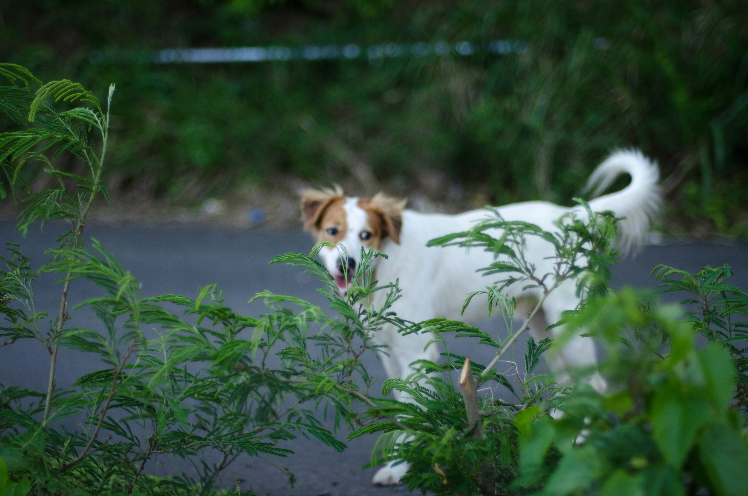
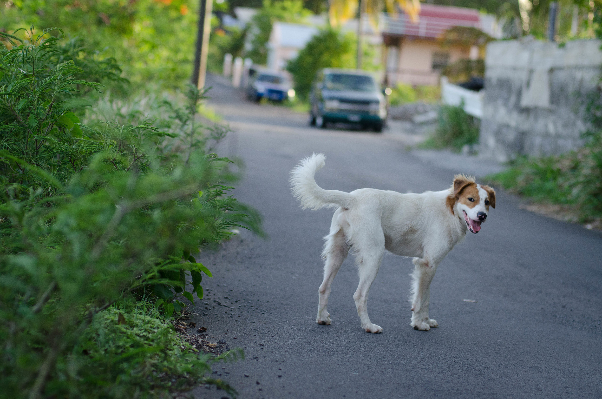
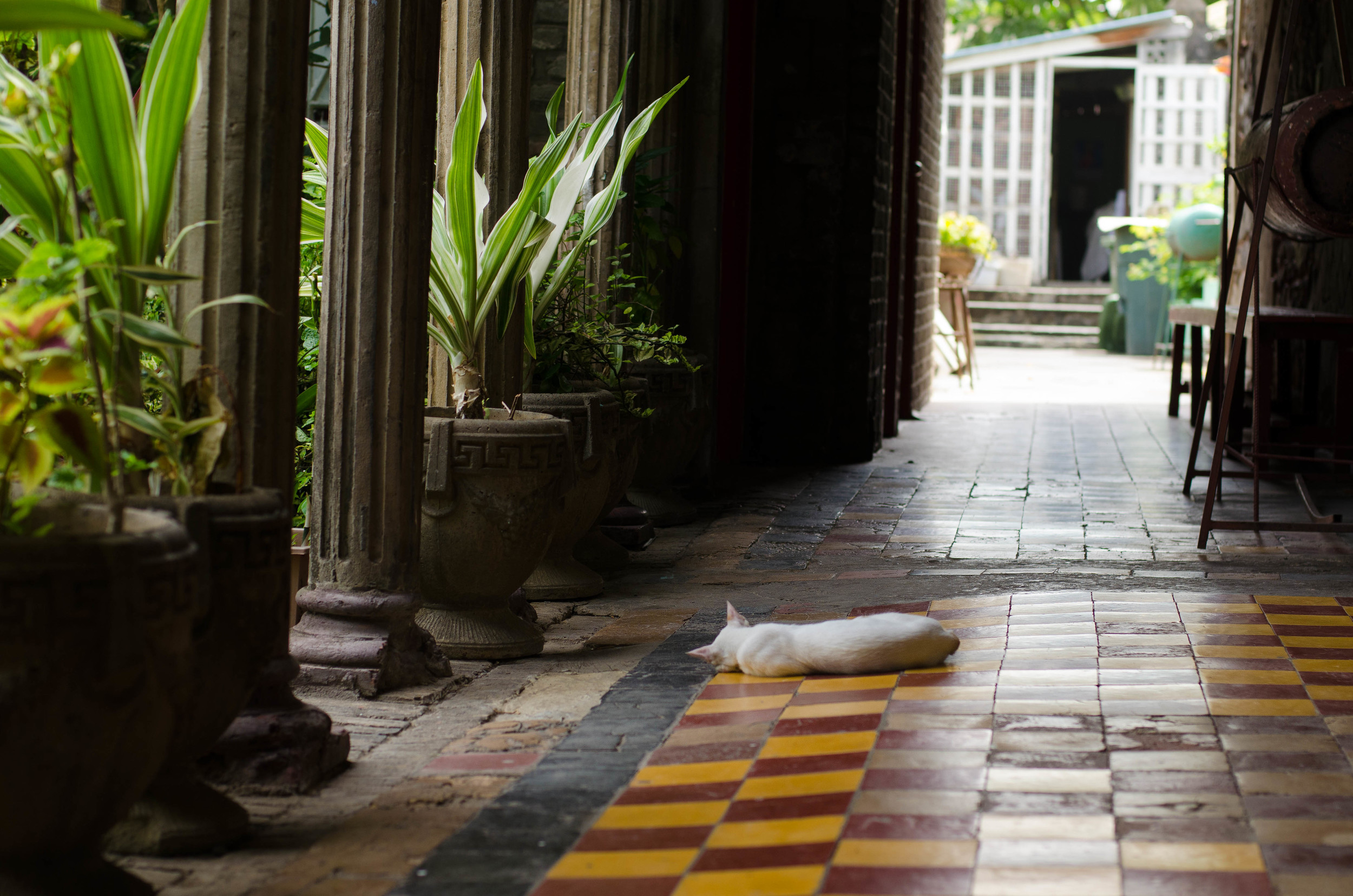
Which brings us to Sunday, a blog writing, cooking, short walk, and logistics day. And hot, hot, hot. Below is a friend who kept us company while writing this post. Have a great week this week, and thanks for reading.
-Tom, Nuin-Tara, Annie, & Shale
Check out our entire archive below...
-
July 2016
- Jul 12, 2016 New Video: Puruvesi (Ice fishing in Finland) Jul 12, 2016
-
March 2016
- Mar 5, 2016 Puruvesi Mar 5, 2016
-
July 2015
- Jul 14, 2015 Almost, Exactly Average or: How I Stopped Worrying and Started to Love Crowdfunding Jul 14, 2015
- Jul 8, 2015 Summer on the Jukajoki Jul 8, 2015
-
May 2015
- May 18, 2015 What are they building in there? May 18, 2015
- May 7, 2015 No Silver Bullet: Ecomodernism, Technology, and Path Dependency May 7, 2015
-
November 2014
- Nov 11, 2014 Some Fish, Some Tango, and a Fiery Goodbye Nov 11, 2014
-
October 2014
- Oct 26, 2014 62° 39' 00" N, 30° 08' 00" E Oct 26, 2014
- Oct 14, 2014 Bluefields to Wawashang - Final Nicaragua Installment Oct 14, 2014
- Oct 3, 2014 Monkey Point & Bangkukuk: Part 2 Oct 3, 2014
- Oct 1, 2014 Monkey Point & Bangkukuk: Part 1 Oct 1, 2014
-
September 2014
- Sep 30, 2014 ¿Que Podemos Hacer Juntos? (What Can We Do Together?) Sep 30, 2014
- Sep 11, 2014 Reflections on Union and a Brief Respite with Cosmos Sep 11, 2014
- Sep 2, 2014 The Sea Will Rise, Barbuda Will Survive Sep 2, 2014
-
August 2014
- Aug 25, 2014 OPOE in Antigua or, Tarantulas, LambLions & Plumeria Aug 25, 2014
- Aug 24, 2014 A Farwell to Union, Hello Grenada Aug 24, 2014
- Aug 10, 2014 I'll Have One Film Workshop, With a Side of Chicken Fever Aug 10, 2014
- Aug 4, 2014 Island Hopping - from Bequia to Union Aug 4, 2014
-
July 2014
- Jul 30, 2014 A Sub, a Princess, Chicken and Bake - Another OPOE Week in Review Jul 30, 2014
- Jul 20, 2014 From Santa Fe to St. Vincent - OPOE's First Week in the Field Jul 20, 2014
-
May 2014
- May 30, 2014 Fast Tracking Climate Adaptation–tapping our natural tendency to experiment May 30, 2014
- May 21, 2014 Reframing Despair May 21, 2014
- May 8, 2014 May 13th Campaign Launch! Help Build Momentum May 8, 2014
- May 5, 2014 Update - letter of support from USAID! May 5, 2014
-
April 2014
- Apr 11, 2014 Project Launch! Apr 11, 2014
- Apr 10, 2014 Climate CoLab Submission Apr 10, 2014


